Guide · Hiking
Hiking routes near Madrid
12 routes in the Sierra de Guadarrama and the Sierra Norte, with distance, time and difficulty for each
Figures are approximate and depend on your starting point and pace. Before you go, check the forecast, trail conditions and any access restrictions.
1. Peñalara
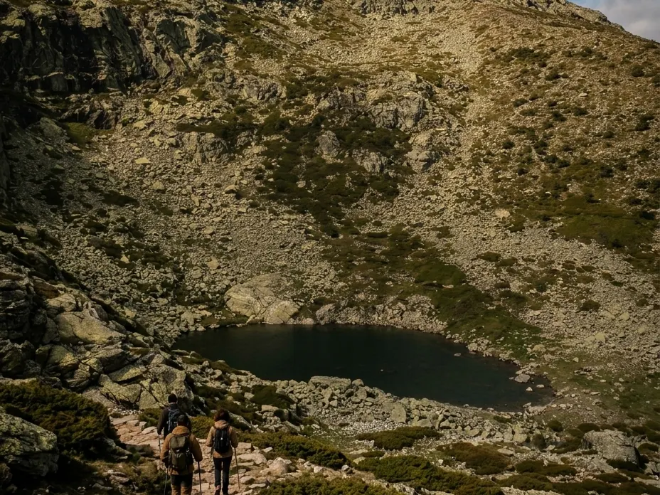
Sierra de Guadarrama
Loop · 13 km · 5 h
Difficulty: Hard
The highest peak in the Sierra de Guadarrama, with the Laguna Grande and Laguna de los Pájaros along the way.
Good to know: Starts at Cotos. In winter you need an ice axe and crampons.
2. Camino Schmid
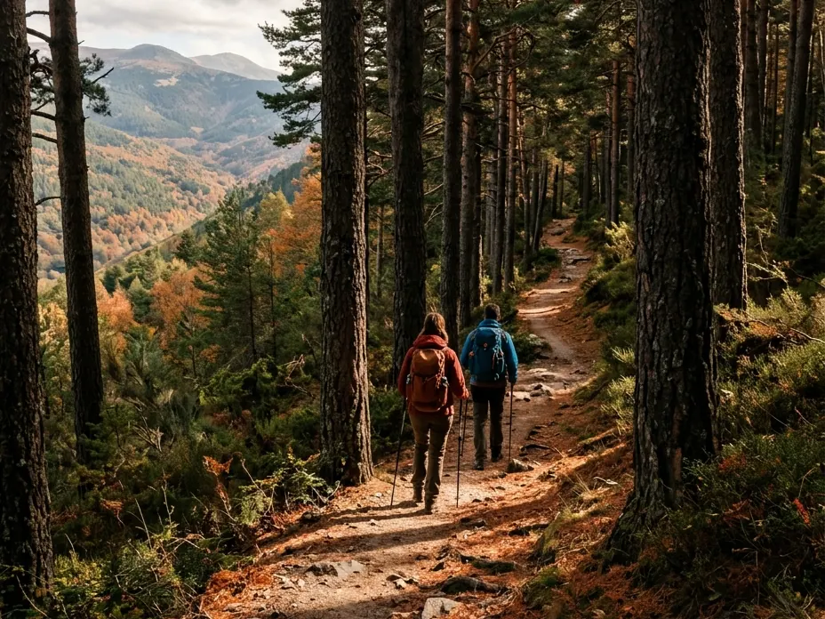
Cercedilla
One-way · 14 km · 3 h to 4 h approx.
Difficulty: Easy to moderate
Rest stop: Las Berceas recreation area (Casa Cirilo)
A pine-forest trail from 1926, mostly downhill, with views of the Fuenfría valley.
Good to know: It's one-way: go out on bus 691 from Moncloa and return by Cercanías train or bus 684 from Cercedilla.
3. Hayedo de Montejo
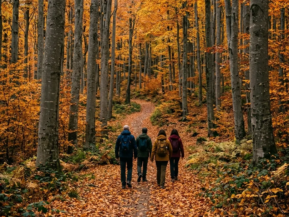
Montejo de la Sierra
One-way · 2,2 km · 1 h 15 min
Difficulty: Easy
One of Europe's southernmost beech forests, a World Heritage Site. This is the River Trail.
Good to know: Guided visits only, with a free permit and limited places. Book on the Sierra del Rincón Biosphere Reserve website.
4. Cascada del Purgatorio
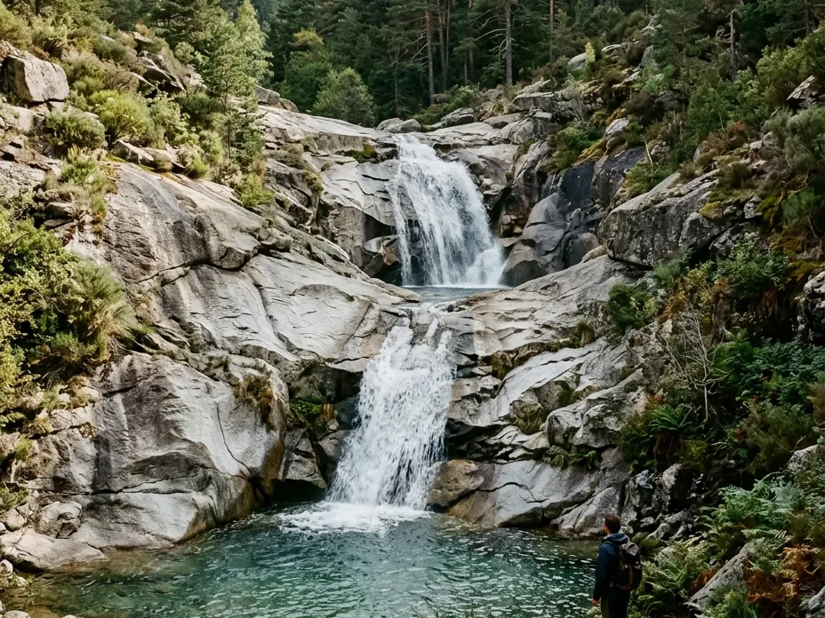
Rascafría
Loop · 12,2 km · 4 h 30 min
Difficulty: Moderate
Rest stop: Las Presillas, along the way
A waterfall in the Lozoya valley, passing Las Presillas and starting near El Paular monastery.
Good to know: Reaching the upper waterfall involves a little scrambling.
5. Cabezas de Hierro
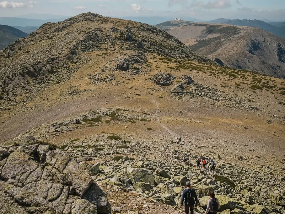
Puerto de Navacerrada
Out and back · 16 km · 5 h
Difficulty: Hard
Rest stop: Facilities at Puerto de Navacerrada
A ridge walk along Cuerda Larga to the 2,383 m of Cabeza de Hierro Mayor.
Good to know: About 1,000 to 1,100 m of ascent. In winter you may need snowshoes or crampons.
6. Abantos
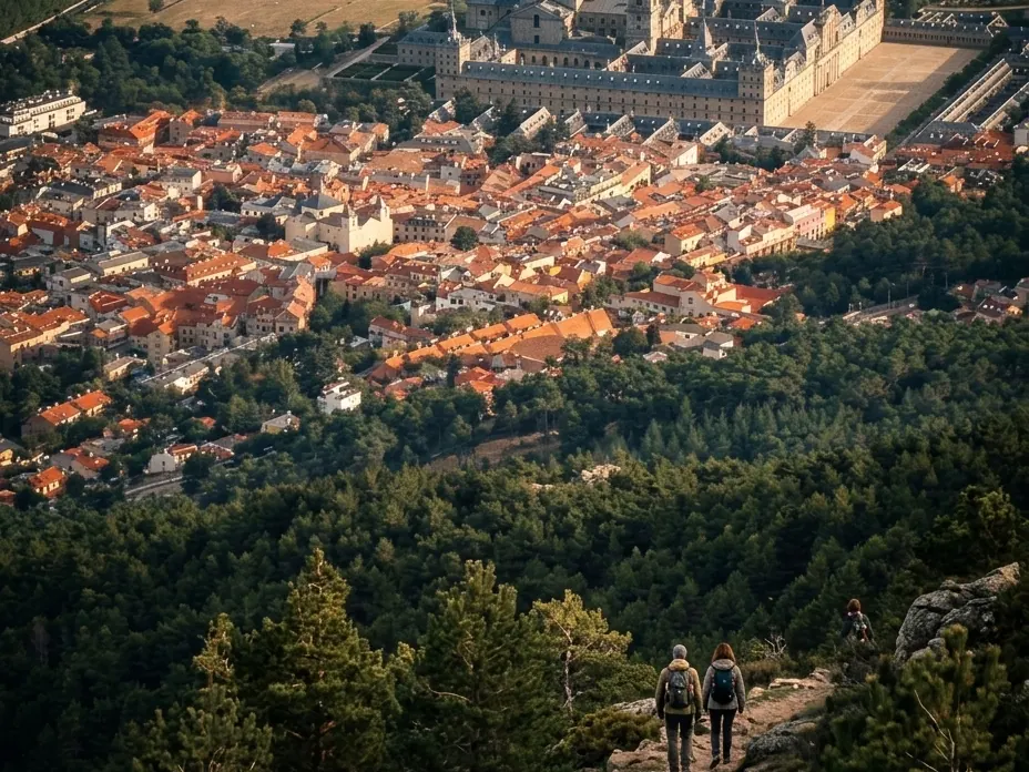
San Lorenzo de El Escorial
Loop · 14 km · 4 h 30 min
Difficulty: Moderate to hard
A mountain with views of El Escorial monastery and the Madrid plain.
Good to know: About 800 m of ascent. Bring water and a warm layer for the summit.
7. La Pedriza
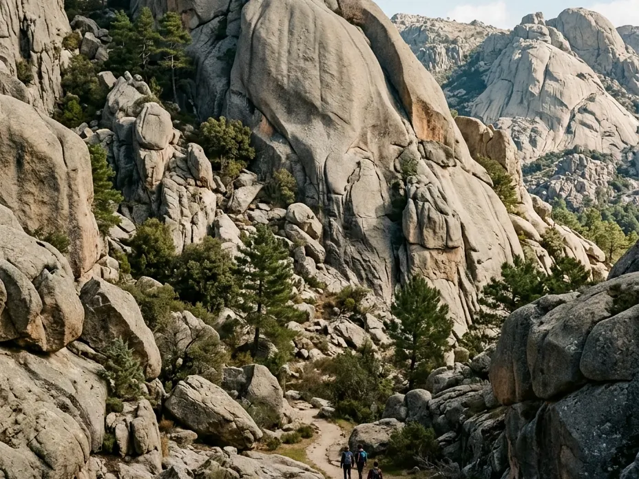
Manzanares el Real
Loop · 12,4 km · 6 h
Difficulty: Hard
A granite labyrinth, passing Cuatro Caminos and the Charca Verde pool.
Good to know: Starts at Canto Cochino. About 980 m of ascent: only if you're fit.
8. Siete Picos
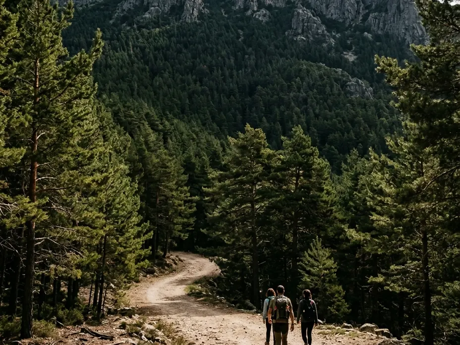
Cercedilla
Loop · 18 km · 5 h
Difficulty: Moderate
Rest stop: Las Berceas recreation area and springs
A loop via Collado Ventoso and the Camino Schmid, below the Siete Picos ridge.
Good to know: It's long: 18 km and about 5 h without stops. Starts and ends around Cercedilla.
9. Bola del Mundo - La Maliciosa
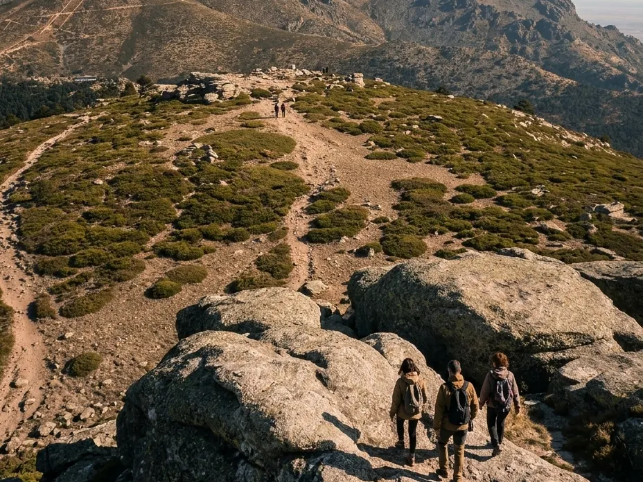
Puerto de Navacerrada
One-way · 14,6 km · 6 h 30 min
Difficulty: Moderate
Two of Guadarrama's best-known peaks in a single traverse down to the Barranca valley.
Good to know: It's one-way with a long descent (about 1,250 m): plan your return from Navacerrada.
10. Chorro de Navafría
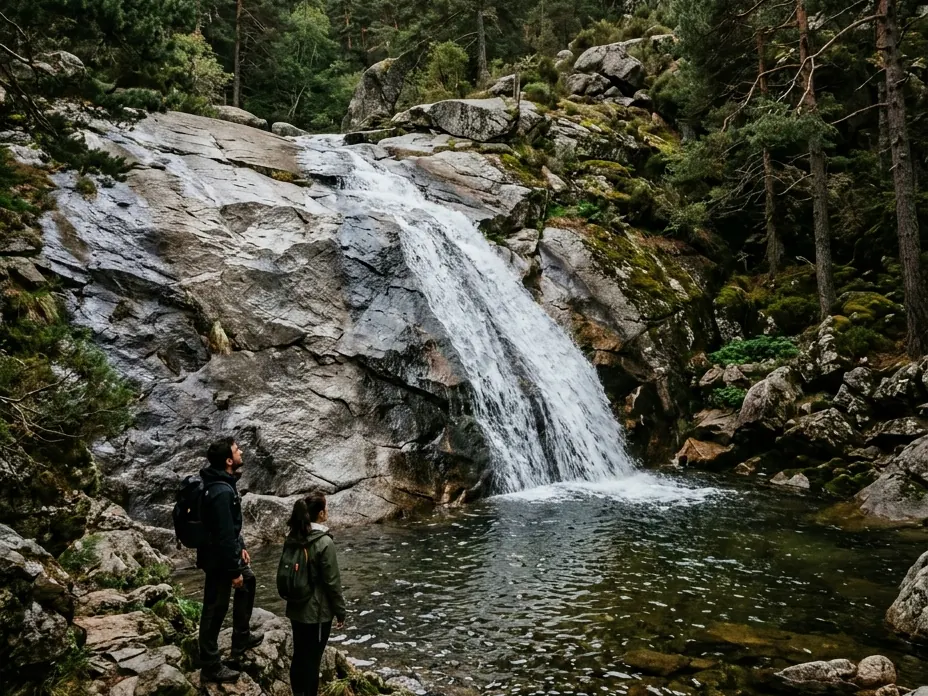
Navafría, Segovia
Loop · 2,3 km · 1 h
Difficulty: Easy to moderate
Rest stop: El Chorro recreation area
A short loop through pine woods to a waterfall, on the Segovia side of Guadarrama, an hour's drive from Madrid.
Good to know: An easy to moderate trail. It's in Segovia, not in the Madrid region.
11. Sierra de los Porrones
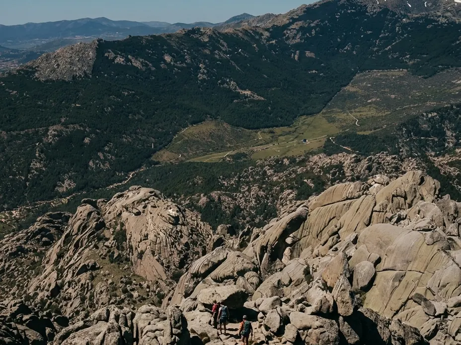
Becerril de la Sierra
Loop · 15 km · 5 h
Difficulty: Moderate
A loop through a quiet corner of the sierra, with the Collado Porrón pass at 1,673 m.
Good to know: Lots of dirt track and some road. On the western stretch undergrowth makes navigation tricky: take the GPS track.
12. Senda Circular de Cercedilla
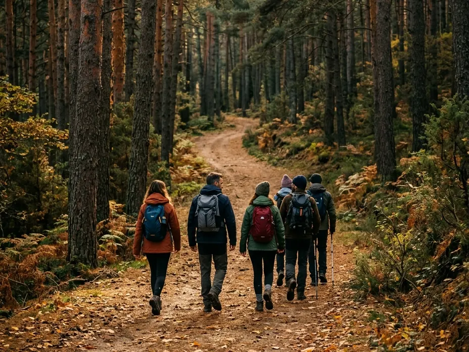
Cercedilla
Loop · 18 km · 7 h
Difficulty: Easy to moderate
Rest stop: Las Dehesas recreation area
A full loop through the pine forests of Cercedilla, made for a whole day in the sierra.
Good to know: Starts and ends at Cercedilla station. Bring food and water for the whole day.
Illustrative images recreated from photos by Wikimedia Commons de Miguel303xm (CC BY 3.0).